This collection of local hikes and walking spots is far from comprehensive! But if you are itching to get out and explore, it’s a start.
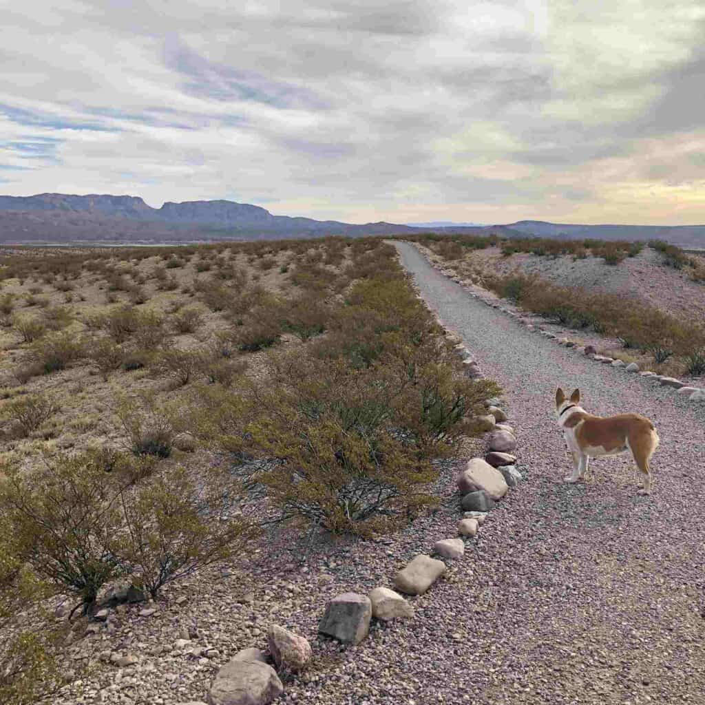
Elephant Butte Lake State Park Trails
The Lake’s hiking trails and paths, including Luchini Trail, the Dirt Dam, and the 12-mile-long West Lakeshore Trail, are a great introduction to wild New Mexico — from paved roads to primitive paths, folks of every capability can get out and enjoy the terrain.
Fish Hatchery Park
This popular walking path and dry camping area, located between Truth or Consequences and Elephant Butte Dam on East Third / Highway 51, contains an easy but scenic loop that is used by walkers, campers, and the like. Paseo del Rio was renamed “Fish Hatchery Park” in 2017 — though it’s considered to be part of the Dam Site Historic District, it is actually located 1.8 miles west. It is still marked as “Paseo del Rio” on some maps and websites.

El Camino Real
In October of 2010, two new educational trails – Yost Escarpment (1.5 miles) and Point of Rocks (1/2 mile loop) – were introduced by the National Parks Service along sections of the El Camino Real de Tierra Adentro National Historic Trail, which extends for 404 miles across parts of Texas and New Mexico. This article from National Parks Traveler provides information on the trails and their dedication.
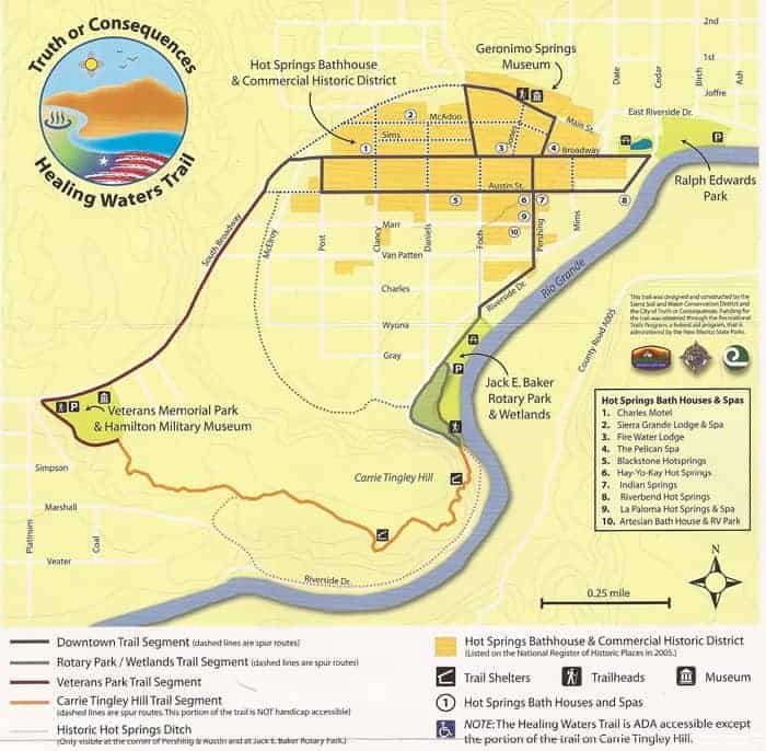
Healing Waters Trail
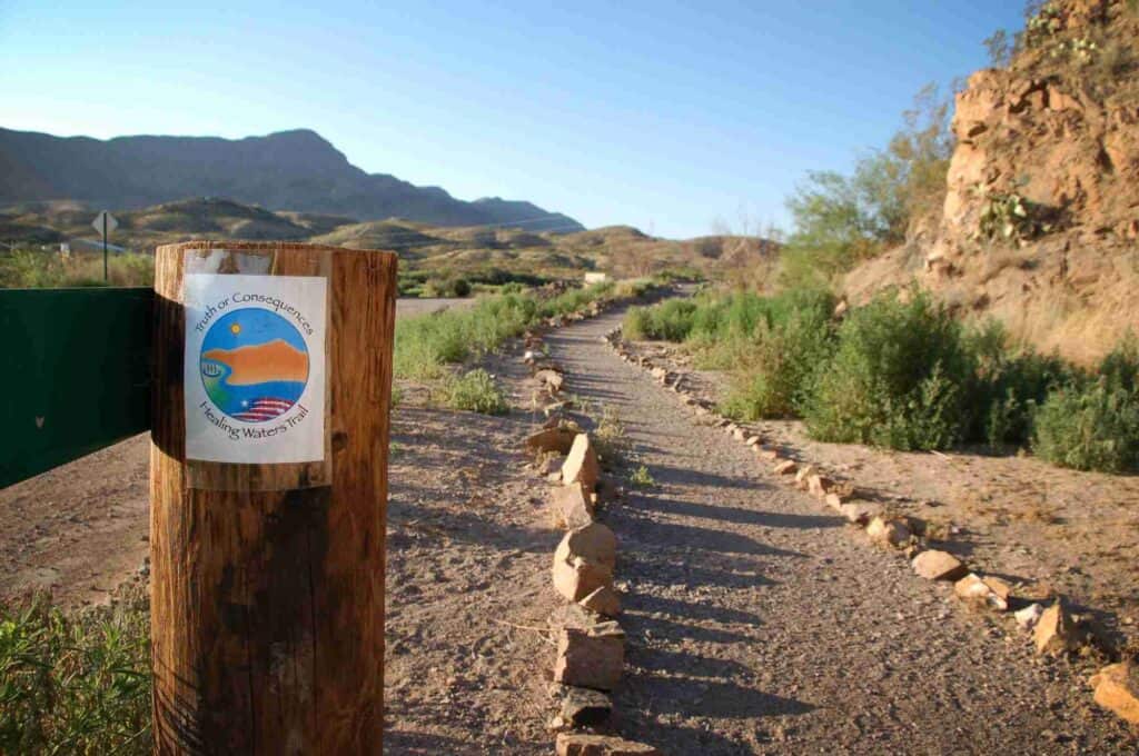
The Healing Waters Trail in Truth or Consequences offers walkers a chance to get close to history. The downtown section is indicated by trail markers embedded in the sidewalks—visit an ancient gathering site of native peoples, and tour hot springs that have soothed visitors for decades.
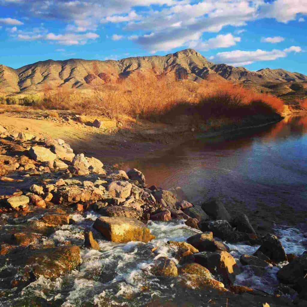
The Veterans Hill segment, set with informational markers and shaded benches, affords sightseers some great views of the Rio Grande and downtown areas. The trail head is well-marked right on Broadway; look for it at the west end of Veterans Memorial Park, a place for quiet contemplation (at least until Veterans’ Day, when folks come from miles around to take part in activities and ceremonies that honor those who served).
The Trails of Turtleback Avenue
Across the Rio Grande, on the eastern side of the river opposite the main streets of T or C, is a slew of hiking trails that venture into the stunning terrain of the Caballo Mountains. These are currently unmarked, oft traversed by locals, and most readily accessible via Turtleback Avenue, a dirt road off east Third Ave (Route 51) that is just past the river bridge on your right-hand side if you are heading east.
The Rio Grande Trails project (learn more on the Sierra County Trail Facebook page) is a local endeavor that aims in part to increase accessibility of these trails from town by constructing pedestrian bridges to cross the river from either Truth or Consequences or Williamsburg. As it stands, it can be tricky for someone who does not know the area to identify the trailheads for these hikes, as they are unmarked and the appearance of No Trespassing signs acts as an intended deterrent.
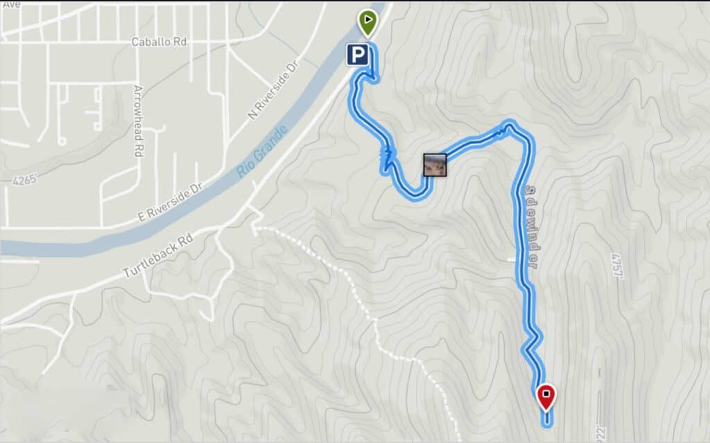
With all that in mind, if you are looking for a solid mountain trail and don’t mind a bit of mystery, the Sidewinder Trail is one of these locally beloved sojourns that can be accessed from Turtleback Avenue and primarily crosses BLM (as opposed to private) land.
Sidewinder Trail
This trail features an easy to moderately challenging climb (depending on skill level) that winds its way throughout the Caballo Mountains; some would even say a longer version can be accessed via Ash Canyon out by the Elephant Butte Historic Dam Site.
But the particular portion described here is the section of trail that is close to town and popular among locals. The unmarked trailhead can be found off Turtleback Avenue, before the pull-off for the Turtle Mountain hike, and it is essentially a small opening to your left just past a No Trespassing sign, with space for riverside parking to the right.
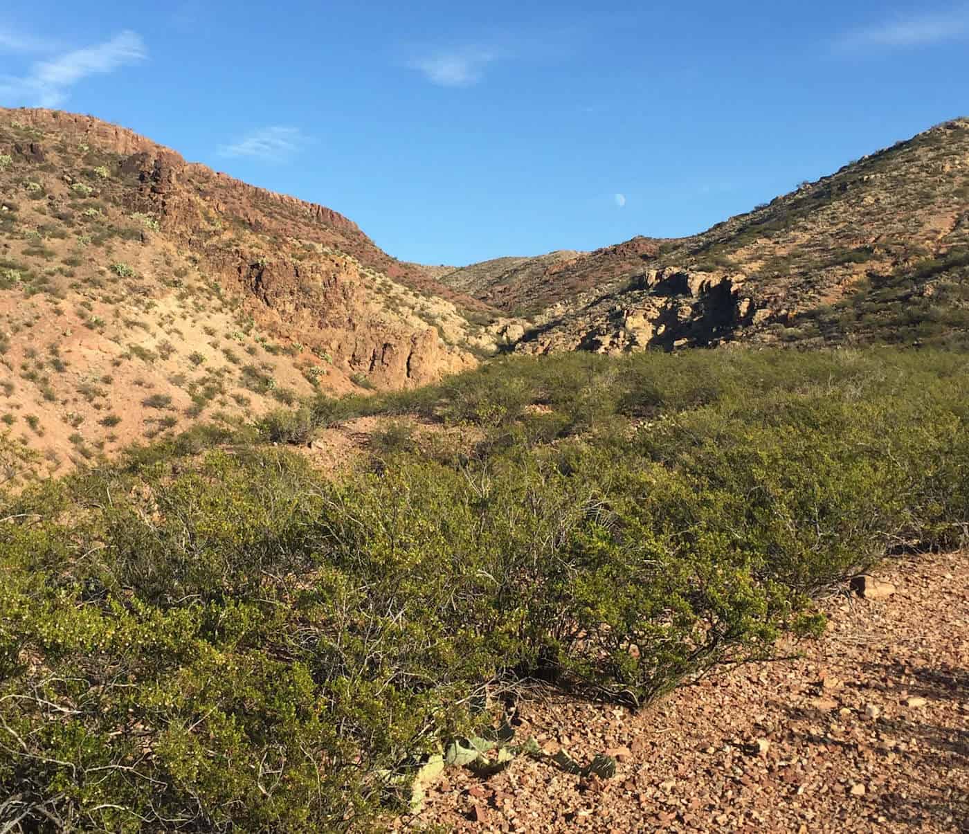
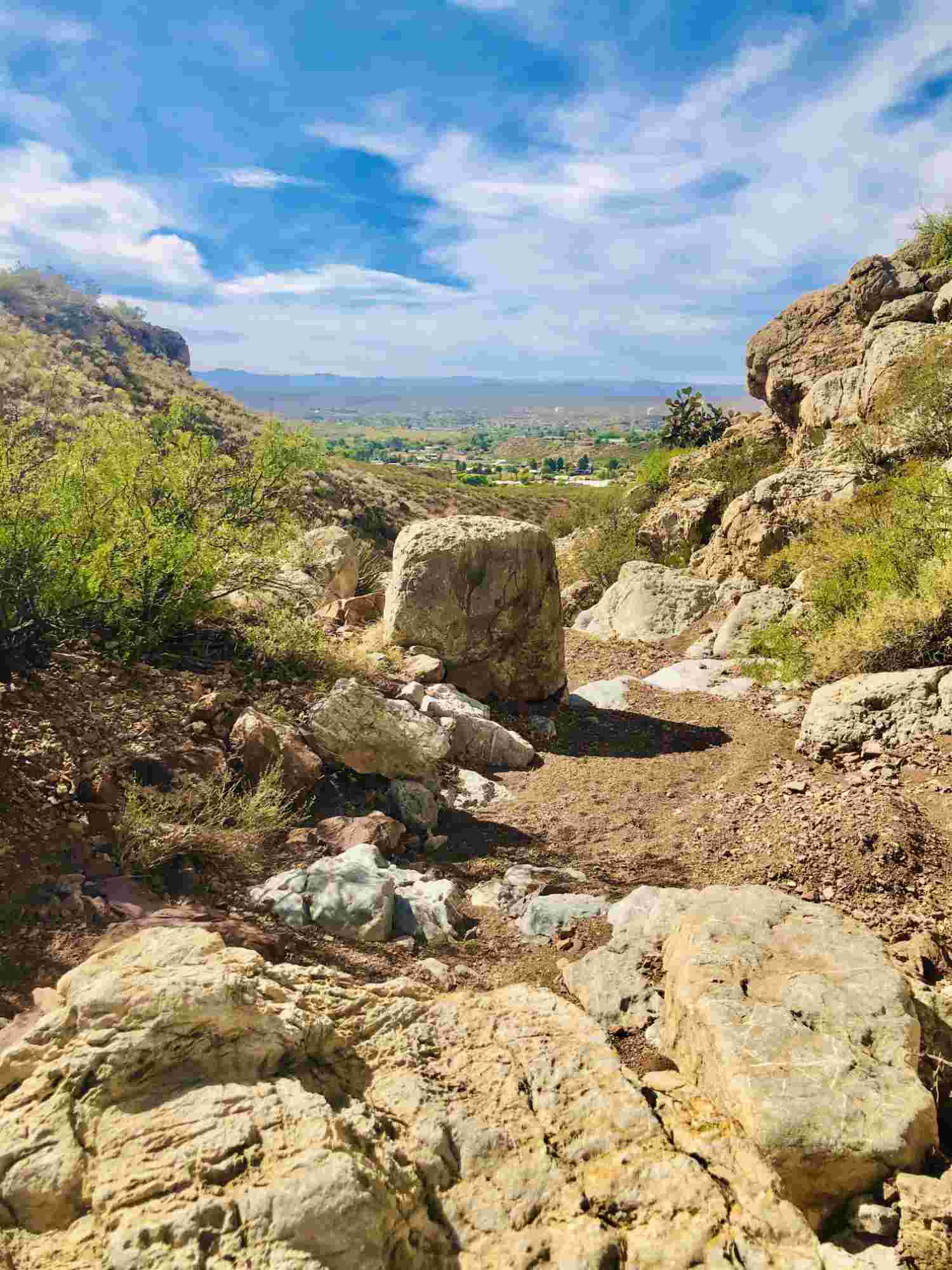
The trail begins with an almost immediate climb that follows a narrow footpath to your right, which winds up and around the craggy rock structure that juts out over the trailhead.
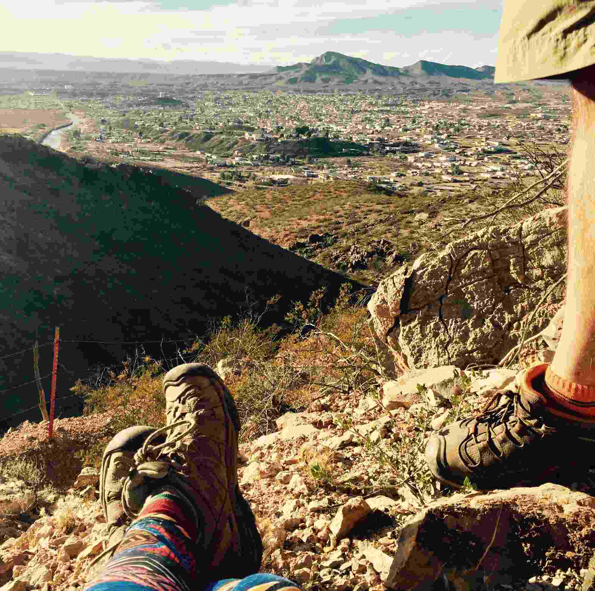
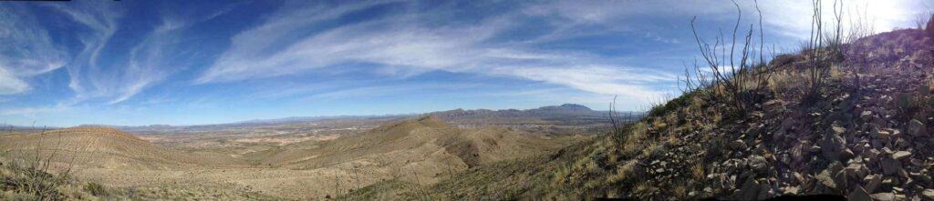
The climb continues along a path that widens steadily across a stretch of creosote-covered red rock scenery, following a tight series of switchbacks that take you to an overlook of the Rio Grande, the city of T or C, Mud Mountain, and beyond. The overlook is near a small crystal-encrusted cave, and from there, depending on skill level and daylight, you can delve further into the Caballos along the red dirt trails, or call it a day and turn back.
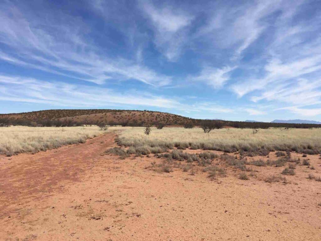
Mud Mountain, Truth or Consequences
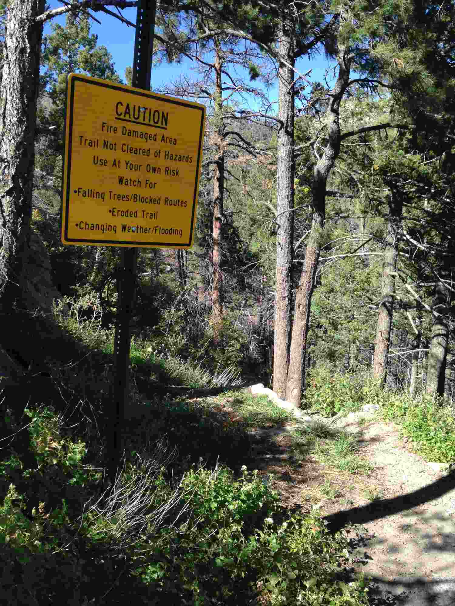
Mud Mountain, rich in geologic history and unmarked trails, is most often explored only by the most dedicated hikers of the area. This is not because the hikes are dangerous or unusually challenging, but more so because they are not well known, and in some cases, difficult to access.
For a glimpse of what Mud Mountain has to offer, there is an easy to moderate hike that is also relatively easy to find. Scenic views and multi-colored painted or “candy” rock are perks of this slow climb up the south side of Mud Mountain. And, as there is no official end to the trail, it can be tailored to meet your ability and time constraints. That is, you can keep going for miles or turn back at any time. There are many other paths and ways into and up to the high points of this range, with plenty of room for free hiking, but again, this one is accessible.
To get there, head north on Kopra Avenue, go past the Truth or Consequences Golf Course, under the overpass, and then make the first left onto Gun Club Road, the dirt road that goes by the Sierra County Shooting Range. Follow that road past the shooting range until you get to a flat area near a fence and a large antenna. Park here and continue on foot along this road, heading west.
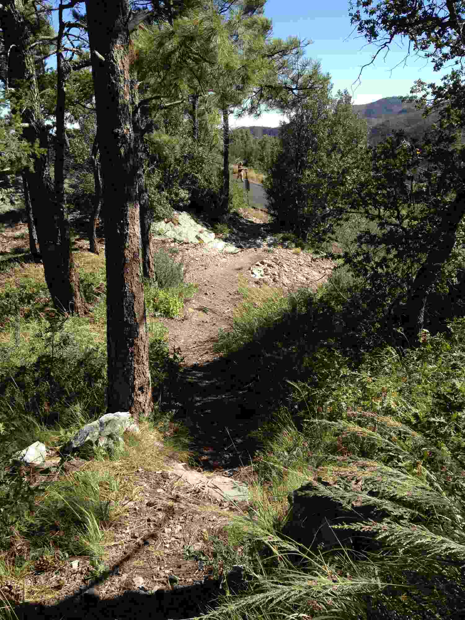
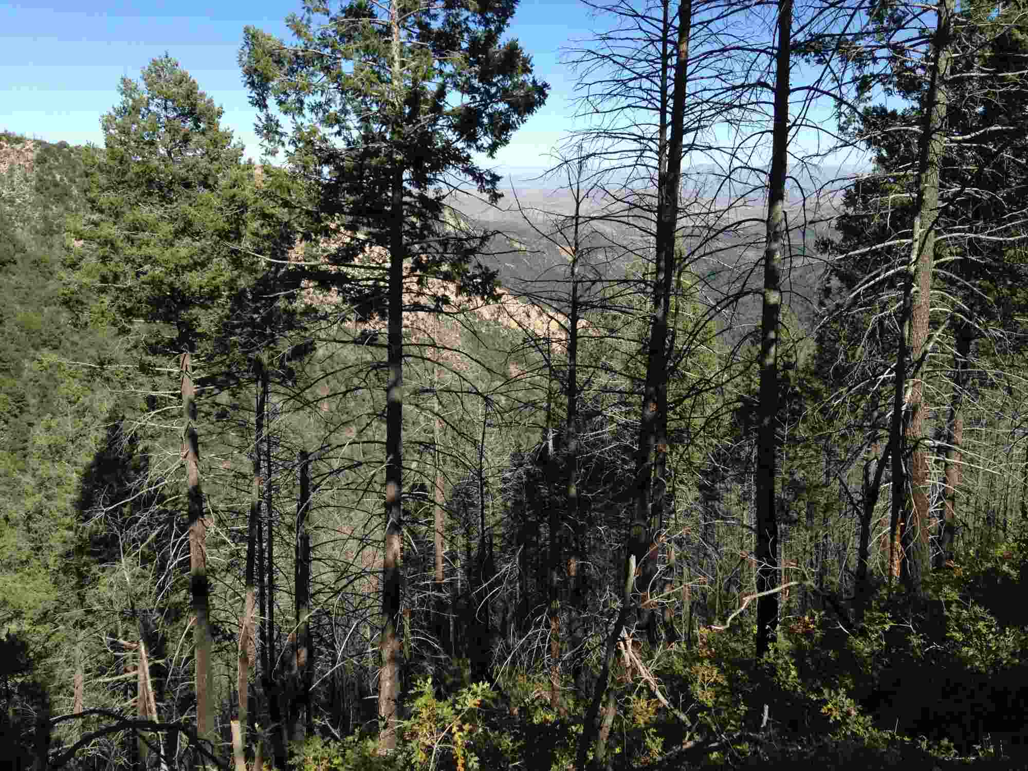
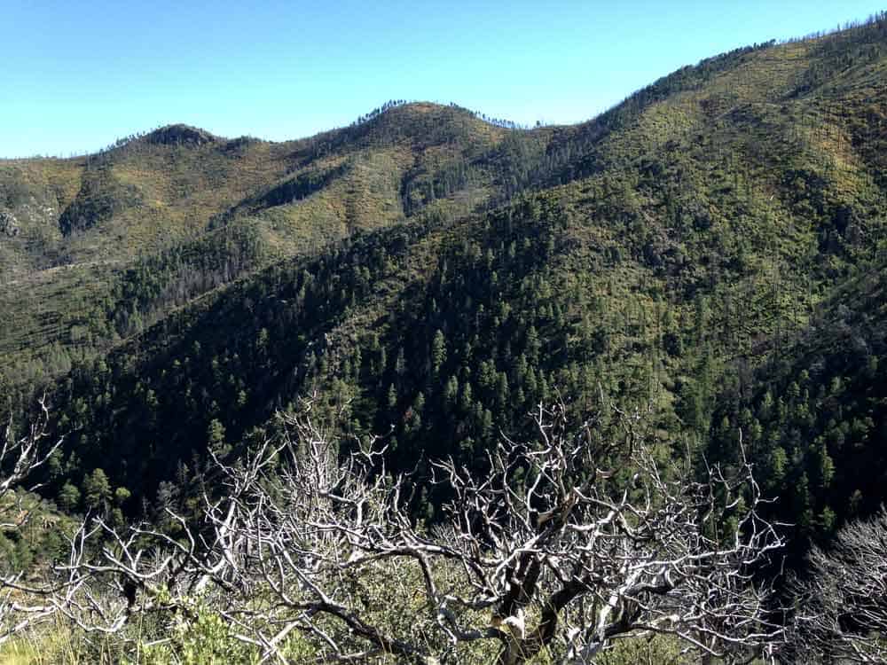
Black Range
The Black Range, on the Eastern edge of the Gila Wilderness, is best viewed from Emory Pass on Route 152, west of Kingston. This spot is a trailhead for some great treks, ranging from five miles to nearly twenty-eight miles, and affords seasoned hikers some spectacular views.
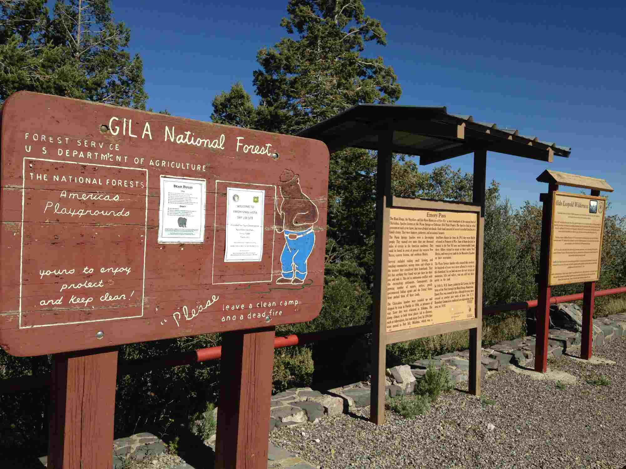
More information on trails in the Gila is available at the Black Range Ranger District Office:
Plans for New Trails at the River
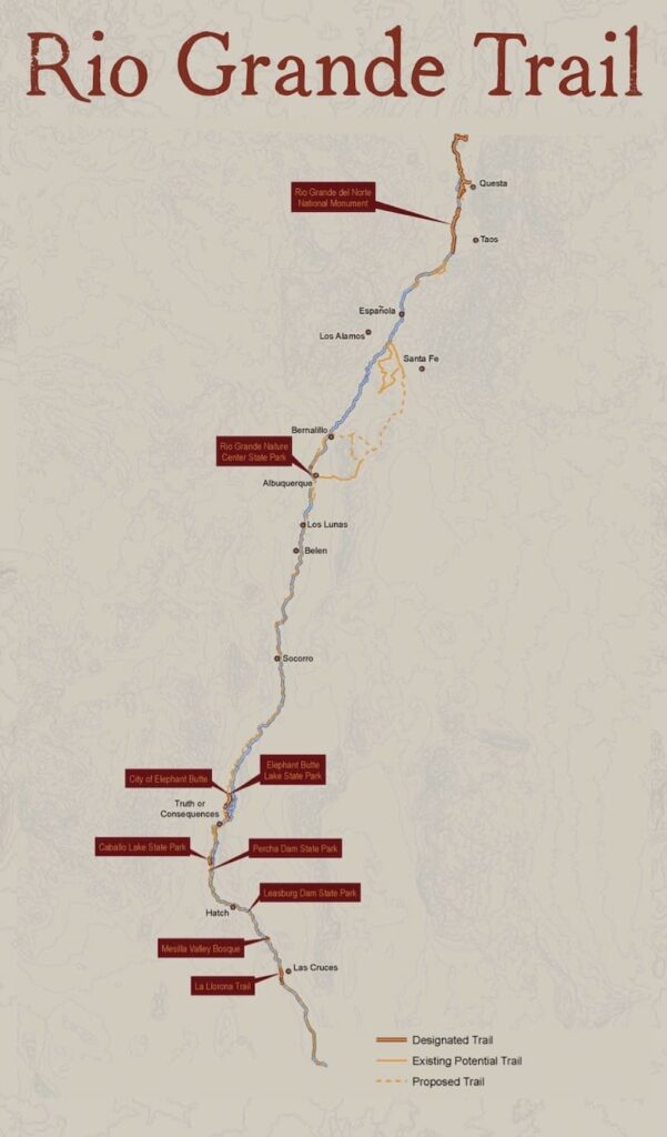
The Rio Grande Trail project and the aforementioned Turtleback Trails Network project both aim to either add to or improve upon the trails in our area.
The Rio Grande Trail project will develop trails at locations situated along the 700 miles of river running through New Mexico from north to south, including in Truth or Consequences and Elephant Butte. The Rio Grande Trail Master Plan website is a useful resource for more information on this project. For anyone wanting to learn more, meetings are held quarterly at locations around the state, and are open to the public. meetings schedule
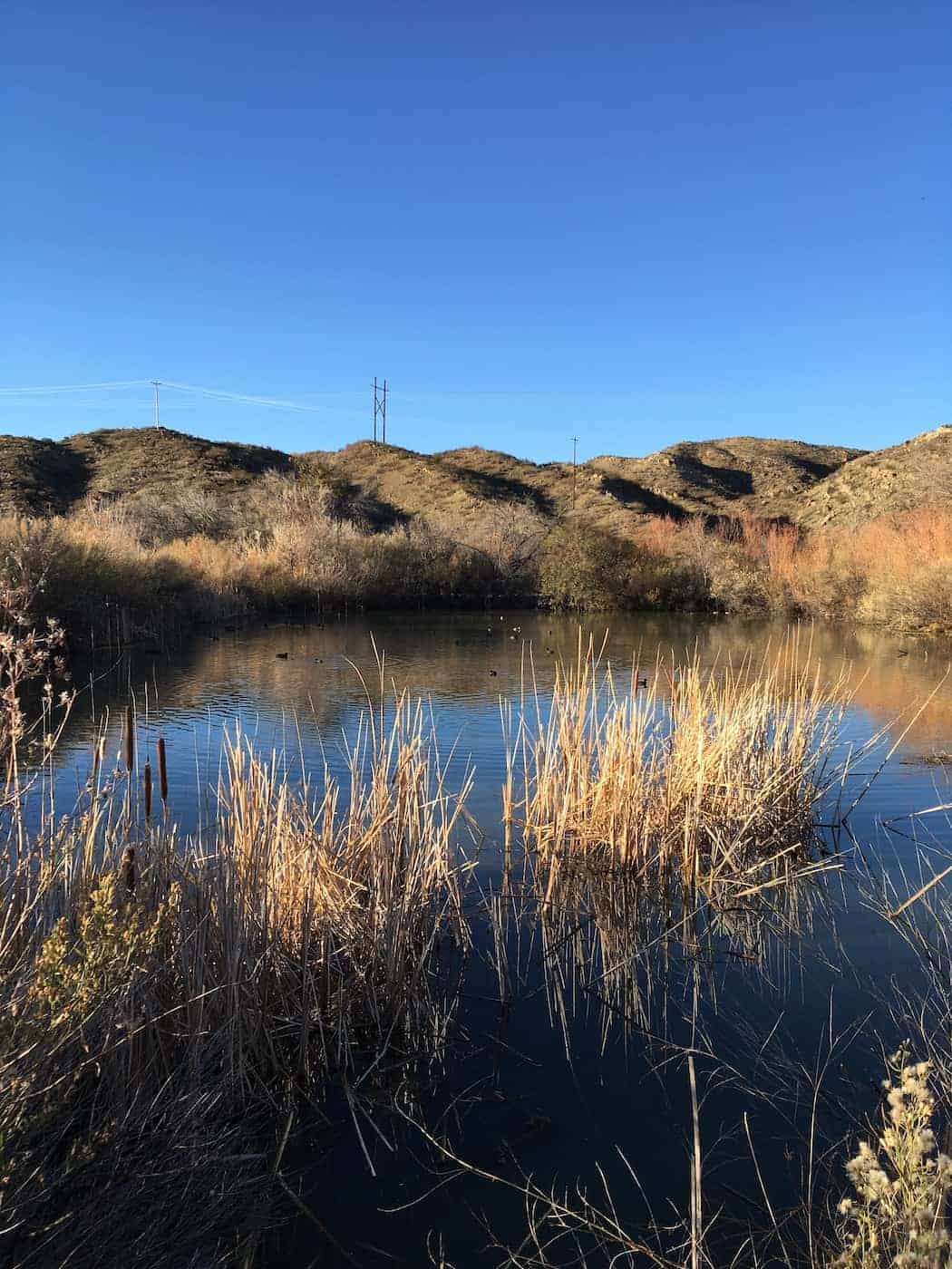
The Turtleback Trails Network would add at least two pedestrian footbridges spanning the river in T or C and Williamsburg, facilitating access to the new Rio Grande Trails and other amenities. The plan also includes wetland restoration to create new habitats for birdwatching and fishing; a pathway connecting Rotary Park to Ralph Edwards Park; and a network of trails at the flanks of the Caballo Mountains for hiking, biking, running, and horseback riding.