
County Seat: Truth or Consequences
The town named after a game show is home to ten hot spring spas. T or C’s commercial district is a great place to walk, gawk, shop, eat, and chill.
T or C quick links:

Elephant Butte Lake
The largest lake in the state has miles of beach, marinas, boat rentals, open water, and quiet coves — all made possible by the dam that was completed in 1916. Come here to swim, jet-ski, fish, hike and camp.
Elephant Butte quick links:
Plan Your Trip
Never Miss An Event!
Sign up for our mailing list. Just before the beginning of every month, we will remind you of what’s upcoming.
There’s also…
Elephant Butte
The largest lake in New Mexico
Miles of beach, marinas, boat rentals, open water, and quiet coves, all made possible by the dam that was completed in 1916.
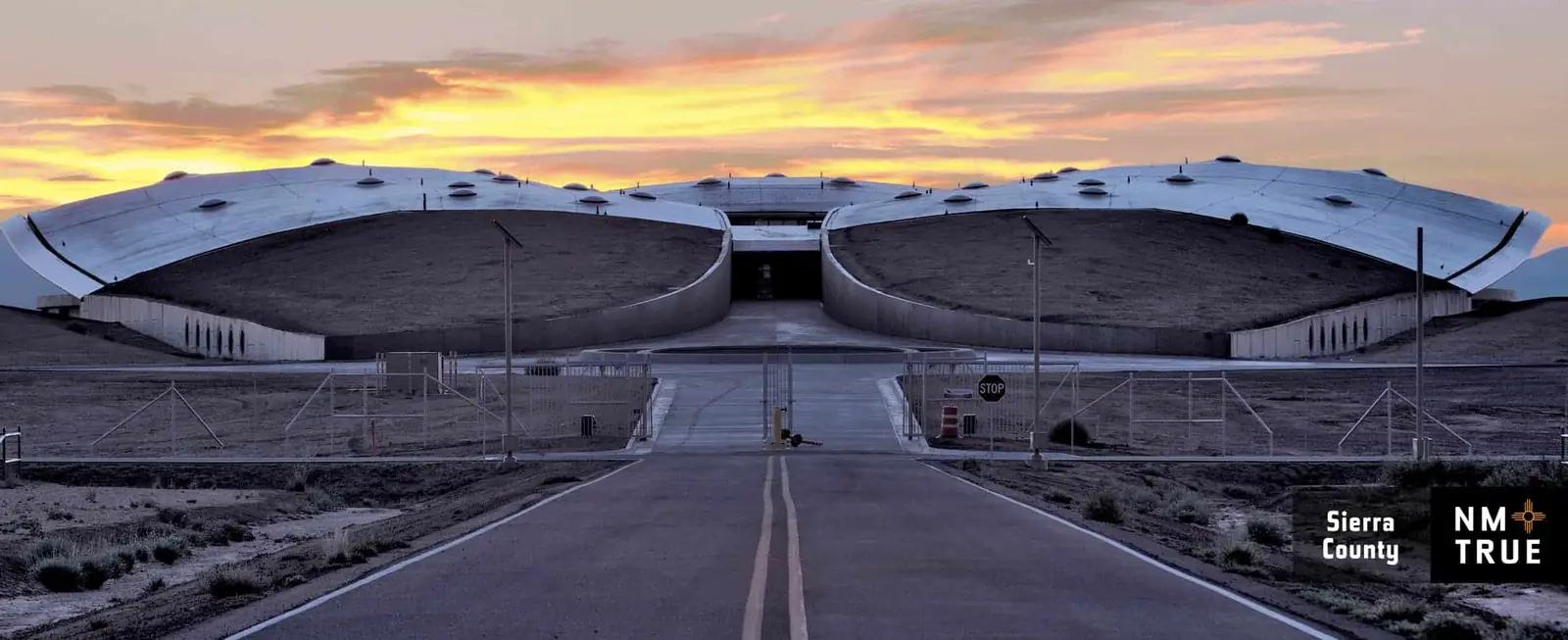
Spaceport America

The Home of Spaceport America
Tenants have included Virgin Galactic, UPAerospace, SpaceX, Spinlaunch, and Google. Tours from T or C are available most Saturdays. Reservations required.
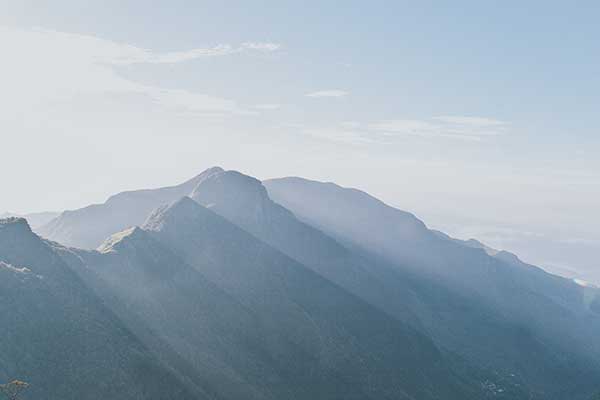
Miles and Miles of Wilderness
The world’s first designated wilderness and the largest in New Mexico, the Gila offers mountain trails, camp sites, and natural serenity.
Miles and Miles of Wilderness